Borrego Springs Local • February 2, 2023
Massive List of GPS Coordinates – Anza Borrego State Park
Share
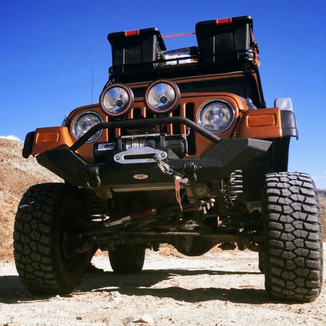
GPS Locations Anza Borrego State Park & Ocotillo Wells Off Road
- 5 Palms: 33.249389, -116.106500
- Adobe Hut: 33.251000, -116.009833
- Agua Caliente County Park: 32.955028, -116.302000
- Airplane Junk Yard: 33.103944, -116.045972
- Arch Trail at the Notches: 33.303528, -116.006944
- Arroyo Salado Trail: 33.282917, -116.152333
- Artesian Well: 33.166611, -115.944222
- Barrel Springs: 33.175491, -116.099033
- Basket Ball Hoop: 33.301255, -116.030517
- Blow-Sand Hill: 33.161167, -116.156528
- Blue-Inn: 33.125250, -116.044361
- Oh-My-God Hot Springs: 33.252750, -116.011889
- Calcite Mine Trail: 33.281000, -116.095667
- Cocktail Hill: 33.141880, -116.128311
- Desert Ironwood Resort: 33.149344, -116.182977
- Devil’s Slide: 33.176994, -116.116756
- Diablo Drop Off: 32.955042, -116.187858
- Fire Hydrant: 33.296130, -116.054861
- Fonts Point: 33.256767, -116.233150
- Gas Dome: 33.178244, -115.949923
- Hidden Valley Camp: 33.144945, -116.041523
- Holmes Camp: 33.150144, -116.111767
- Mud Caves Area: 32.924767, -116.188567
- Ocotillo Wells Ranger Station: 33.154591, -116.168066
- Old Commune: 33.159672, -116.022156
- Oroflame Canyon Trail: 33.016767, -116.487400
- Phone Booth: 33.301456, -116.029706
- Pinyon Mountain Trail: 33.048917, -116.299933
- Pumpkin Patch: 33.222820, -116.068599
- Rodriguez Canyon Trail: 33.019550, -116.484600
- Sandstone Canyon: 32.979404, -116.214471
- Scissors Crossing: 33.096600, -116.474900
- Sheep Tanks: 33.304500, -116.098067
- Shell Reef: 33.189467, -116.067967
- Shooting Spot: 33.038099, -116.093510
- Six Palms: 33.280450, -116.027850
- Slot Canyon Trial: 33.181967, -116.214095
- Split Rock: 33.044733, -116.272733
- Superstition Mountain Sand Dam: 32.957700, -115.833767
- Truckhaven 4X4 Training Area: 33.260147, -116.015072
Galleta Meadows - Metal Sculptures
- Borrego Springs Indian Head Sculpture: 33.301409, -116.385757
- Borrego Springs Wild Sheep Sculpture: 33.311421, -116.391781
- Borrego Springs Velociraptor Sculpture: 33.311060, -116.388536
- Borrego Springs Spanish Padre Sculpture: 33.301822, -116.388463
- Borrego Springs Jeep Sculpture: 33.300221, -116.387280
- Borrego Springs African Elephants Sculpture: 33.298759, -116.384456
- Borrego Springs Camelids & Llamas Sculpture: 33.289980, -116.380589
- Borrego Springs Serpent Sculpture: 33.290068, -116.376664
- Borrego Springs Nursing Camel Sculpture: 33.283577, -116.374225
- Borrego Springs Scorpion Sculpture: 33.283500, -116.370000
- Borrego Springs Farm Workers Sculpture: 33.283345, -116.367066
- Borrego Springs Utahraptor Sculpture: 33.256934, -116.376986
- Borrego Springs Giant Eagle Sculpture: 33.207402, -116.348828
- Borrego Springs Tyrannosaurus Rex Sculpture: 33.199462, -116.353088
- Borrego Springs Spinosaurus Sculpture: 33.198900, -116.351210
- Borrego Springs Tortoise Sculpture: 33.301525, -116.385558
- Borrego Springs Desert Eagle Sculpture: 33.212497, -116.355736
- Borrego Springs Several Elephants Sculpture: 33.282747, -116.373912
- Borrego Springs Horses Sculpture: 33.211848, -116.352453
- Borrego Springs Saberwolf & Horses Sculpture: 33.210190, -116.354708
- Borrego Springs Mammoth Sculpture: 33.212281, -116.348073
- Borrego Springs Cactus and Gold Panner Sculpture: 33.301206, -116.389260
- Borrego Springs Camel Sculpture: 33.284948, -116.374919
- Borrego Springs Sloth Sculpture: 33.286378, -116.374634
Learn More About Borrego Springs

Off-Roading Adventures in Anza-Borrego: A Desert Escape Are you ready for an off-road adventure in the stunning landscapes of Anza-Borrego? In a recent video, Bustabeatgeorge takes us on a thrilling journey through the beautiful scenic views and challenging technical off-road trails of this desert paradise. Anza-Borrego is not just a destination; it's a haven for those seeking camping and overlanding experiences, you'll be inspired to add this unique location to your bucket list. Featured Gear: KungFUtonic Spices Skotti Grill Benehike Rooftop Tent Custom Expedition Setup: If you're curious about Bustabeatgeorge truck camper setup, it was expertly crafted by TinyRigCo . Connect with them on Instagram: @TinyRigCo Gear Highlights: Discover the gear featured in the video for your own off-road adventures: Jetboil Genesis Basecamp Camping Stove Cooking System Jetboil Coffee Kit GrillGrate Sear Stations Reliance Products Fold-to-Go Collapsible Portable Toilet Dometic CFX3 35-Liter Portable Refrigerator and Freezer Dickinson Newport Propane Direct Vent Heater Front Runner Wolf Pack Pro/Twin Set Stackable Storage Boxes Whether you're an off-road enthusiast or simply love to explore, this video captures the essence of Anza-Borrego's desert beauty. Join Bustabeatgeorge on this exhilarating journey, and don't forget to subscribe for more exciting adventures!
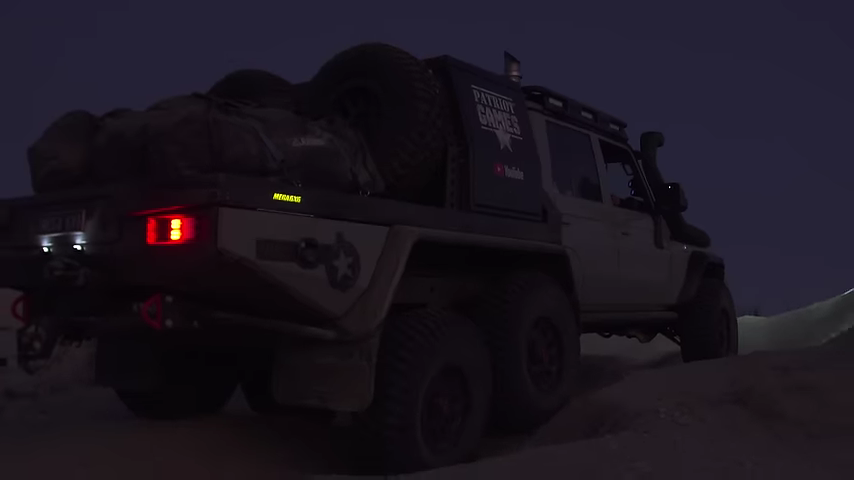
Patriot Games Season 6: Adventure in Anza-Borrego Desert