Hiking the Yaqui Well Trail
Share
Discover the Yaqui Well Trail in Anza-Borrego
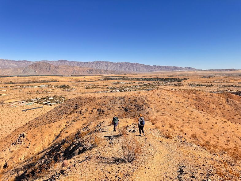
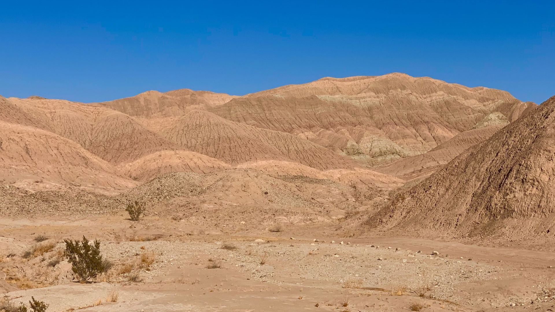
The Yaqui Well Trail is a 1.5-mile hike in Anza-Borrego Desert State Park. This short, easy trail offers a glimpse into the park's diverse flora and fauna, as well as the history of the Kumeyaay people and early pioneers who used the area's natural resources.
Getting to Yaqui Well Trail
The trailhead is located near the Tamarisk Grove Campground. From Julian, head east on SR-78, then turn onto Yaqui Pass Road (SR-3) for 0.3 miles. You can park near the ranger residence, and the trail starts across the street.
Trail Information
The trail is 1.64 miles round trip with a minimal elevation change of about 70 feet. It is suitable for families and can be completed in about one hour. However, note that pets and bikes are not allowed on the trail. Facilities are available at the Tamarisk Grove Campground when open.
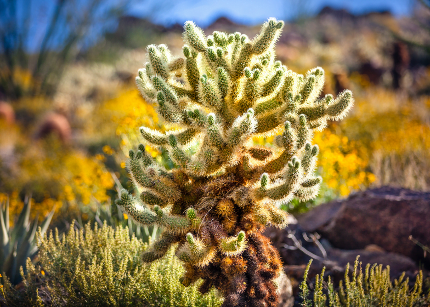
What You'll See on the Trail
- Saltbush: This shrub thrives in salty soils and has evolved to excrete salt onto its leaf surfaces, making it a critical plant for desert ecosystems.
- Creosote Bush: Known for its medicinal uses by the Kumeyaay people, this shrub has been used to treat ailments ranging from colds to skin conditions.
- Honey Mesquite: This tree provided food, tools, and medicine to the Kumeyaay people, and its flowers and seedpods support local wildlife.
- Desert Mistletoe: A parasitic plant found on mesquite and ironwood trees, its berries are an important food source for birds.
- Tamarisk Trees: Non-native to the region, Tamarisks were planted in the 1930s. They are now considered invasive due to their water consumption and impact on native plants.
Important Notes
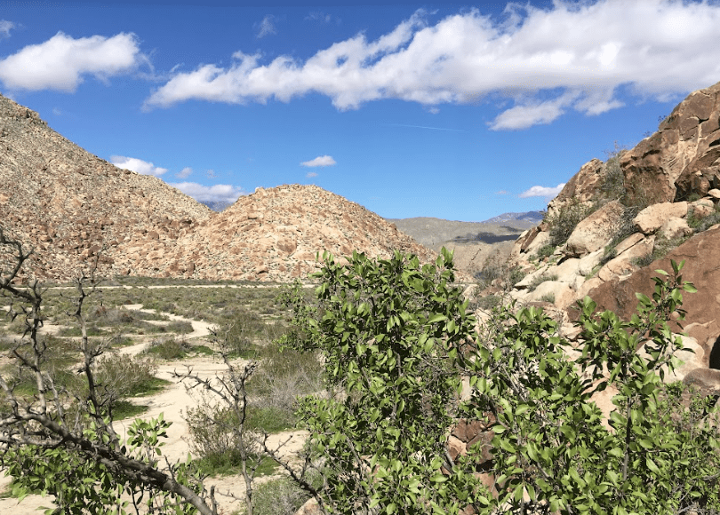
Yaqui Well is a fragile ecosystem, and visitors are asked to leave the area undisturbed. The spring supports a variety of plant and animal life, from mesquite trees to desert wildlife like coyotes and bighorn sheep.
For more information on Anza-Borrego Desert State Park:
Anza-Borrego Desert State Park
200 Palm Canyon Drive
Borrego Springs, CA 92004
Park Headquarters: (760) 767-5311
Visitor Center: (760) 767-4205
California State Parks | Anza-Borrego Foundation
Maps and Guides
Download the Anza-Borrego Park Map